Use this Google maps as a guide, but keep in mind that the road names are different then what the signs actually say when you are driving. If you want to follow directions based on the road signs posted along the trail, then follow our directions in the gallery or pdf.
Follow these directions to get to Alstrom Point. Start your trip by going 14.4 miles west of Page on US 89 to the town of Big Water, UT.
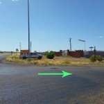
1)Turn right onto Ethan Allen Rd and set Odometer to 0.0
2)Go straight on Ethan Allen Way, use the parking lot on the right to offload ATV’s if you are using them.
3)0.3 miles, Turn right onto Glen Canyon National Recreation Area (State Highway #12)
4)Go Straight on State Highway #12
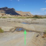
5)0.9 miles, cross Wahweap Creak. Often has flowing water, but usu- ally not difficult to cross. Camp spot on the right before the river
6)4.9 miles, pass the Wiregrass Canyon trailhead. Optional hike down to the river.
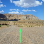
7)10.1 miles, stay left at split in road to stay on State Highway #12. Right goes to Warm Creek Bay VIA Crosby Canyon Road.
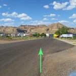
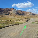
8) 12.8 miles, turn right onto 300. Blue road marker on the right of the road. Information sign at the intersection has fun facts.
9)You should see a small ranching area on the left after a few minutes, then cross a small wash
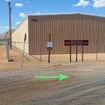
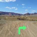
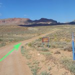
10)13.8 miles, turn right onto 340. Sign says Grand Staircase- Escalante National Monument
11)Blue road market says Road 340. Brown sign says “All Vehicles and Bicyles must stay on roads.”
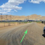
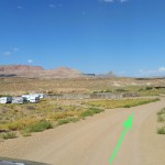
12)18.0 miles, turn right onto Road #264. Sign says “Alstrom Point 5 miles” Stay straight for 5 miles.
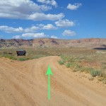
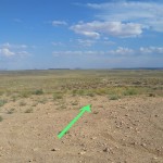
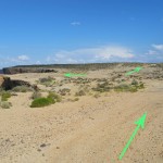
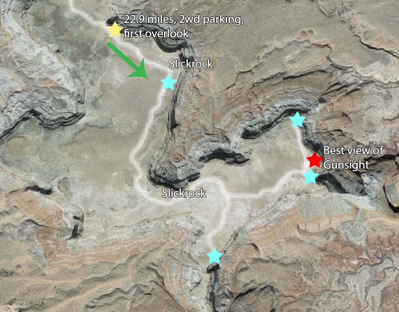
13)22.9 miles find the first overlook on left. 2wd vehicles should stop here. High clearance can continue on slickrock to 3rd arrow
If you decide to continue onto the 4wd section, follow the cairns to the different overlooks. Many section are over slickrock, so the trail is easily lost.
The yellow star on the map below indicates where the directional photos stop on step 18 at 22.9 miles.
There is no reception, so I recommend downloading or printing this pdf of the directions above.